The Splügen Pass
Disclaimer- the GoPro films upside down, when I flipped it the right way up - it shows the footage reversed!
It was Day 23, and it was the day of the Splügen pass. After the first day of our trip, leaving Kendal - we haven’t had any hills - that’s what you get for following the Rhine. Whilst it has been lovely, and relatively easy riding, Zach and I both like a good challenge - and the Splügen pass was certainly going to be that.
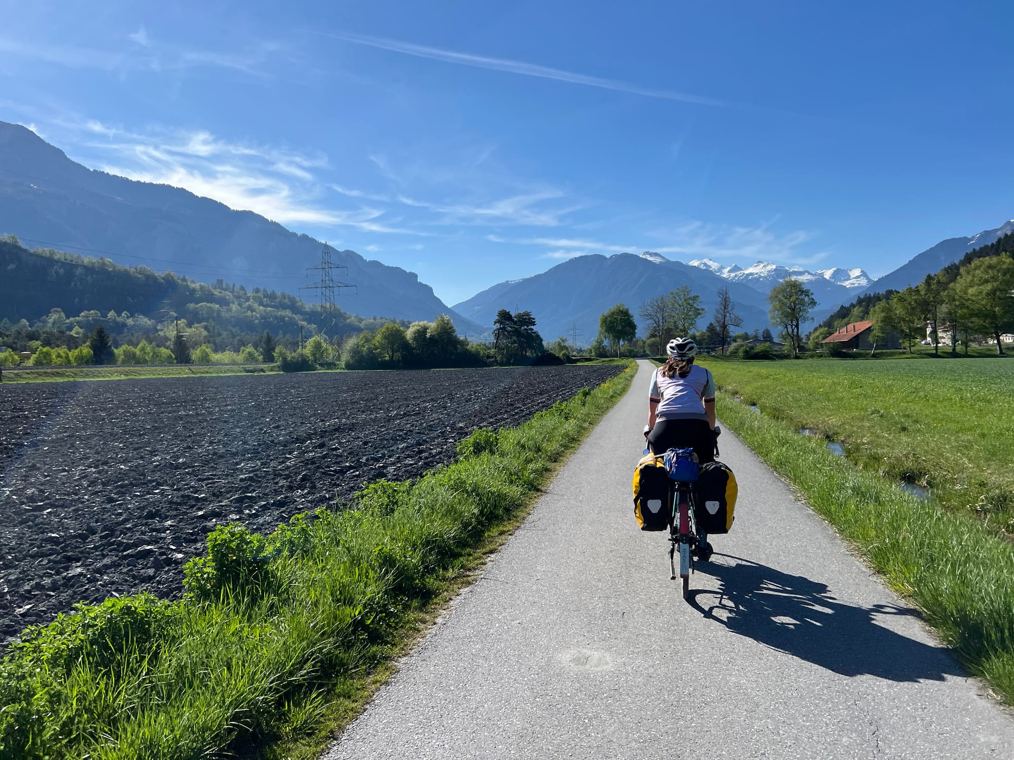
We started the day at a campsite in Chur, and followed the Rhine through Switzerland. We made quick progress of the first 15/20km to Thusis where we ventured into our first Swiss Lidl.
From here, the road took us up through an alpine forest, weaving alongside a ravine with a river deep below and occasional waterfalls feeding into the flow.
The next 13km were hilly, with about 750m of ascent and half way up this section, I knew I was in trouble. I felt bad. I hadn’t eaten enough, and worse - I’d been sweating a lot and not taking on any electrolytes. When we reached a small village, Andeer - I let Zach know that I wasn’t doing great, so we stopped for lunch. It was a beautiful spot, with picnic benches, toilets and a water fountain! I took on electrolytes and quickly felt a lot better.
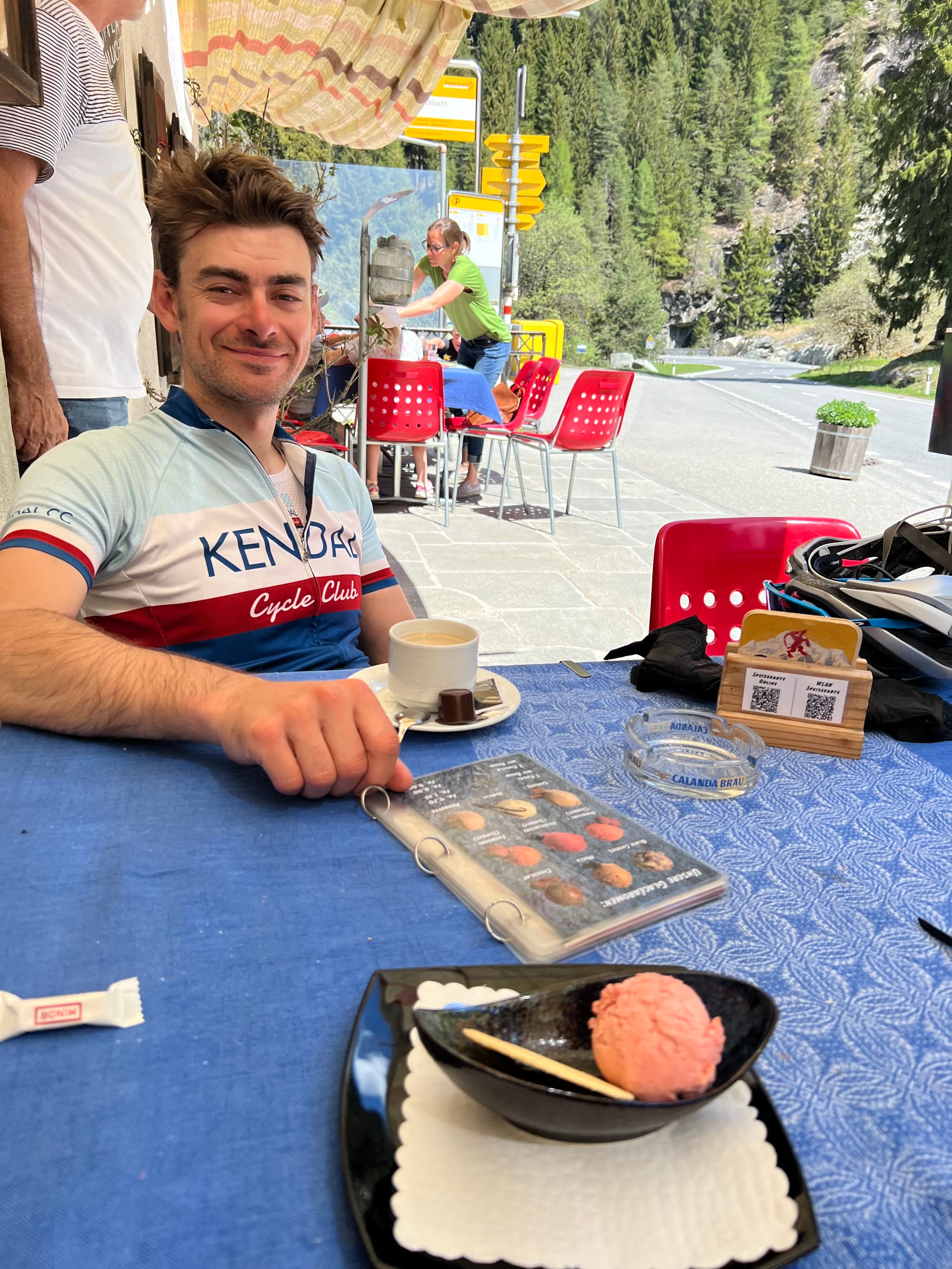
We had planned a coffee break not too long after this, and decided to stop there too! This is one of the beautiful things about not being in too much of a rush each day, there’s always time for that coffee - or in my case, a scoop of strawberry sorbet!
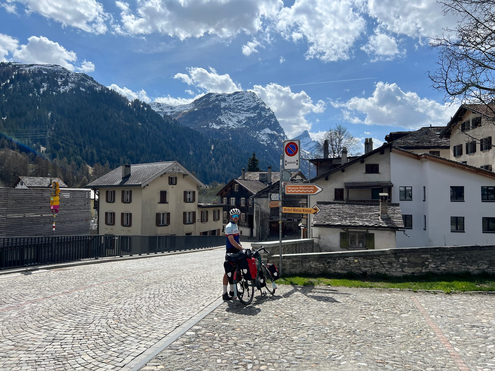
Next on our stop was the village of Splügen, a ski village, located at a 1475m above sea level. We were feeling pretty good so we decided to crack on with the second part of the climb - the Splügen pass!
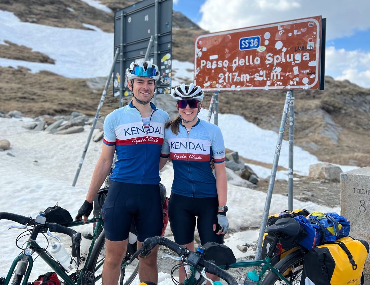
The Splügen pass has been used since the Roman era, and connects the German village of Splügen with the Italian Val San Giacomo. The peak of this mountain pass is the border between the two counties, and lies at 2,117 m elevation.
The pass is closed over the winter, and only opened this year on the 24th April, just three days before we rode it, which meant there was still a fair amount of snow around.
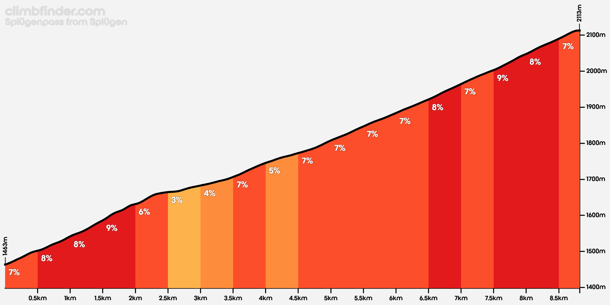
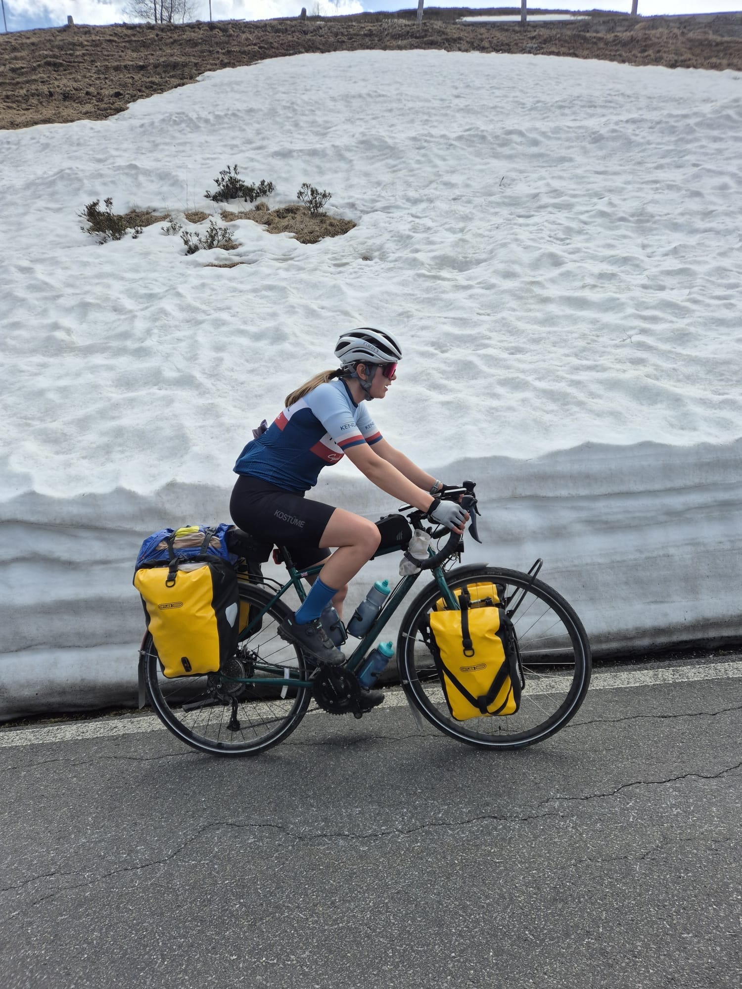
We decided to split the climb up into thirds, so every 3km we would wait for each other and a have a small break before continuing. I actually surprised myself with my pace on this climb, I wasn’t as far behind Zach as I thought I would be. As we hadn’t done any climbing yet on the trip, cycling up a mountain pass with a bike weighing 40kg+ was a bit of an unknown - and it ended up going much better than we expected!
Closer to the top, we both saw some marmots!
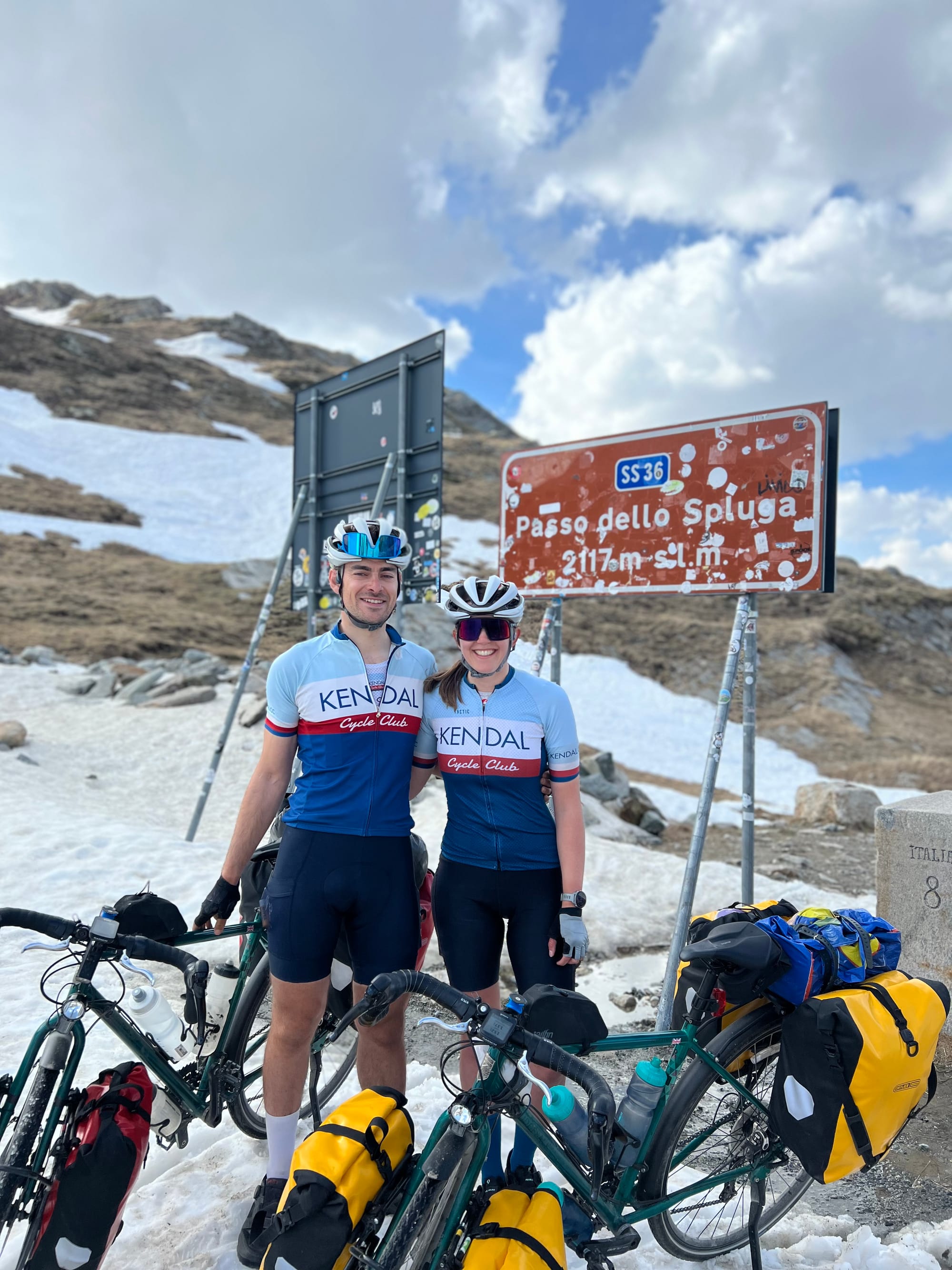
Finally reaching the top of the pass felt monumental, not only had we made it to the top, but we had also completed the first stage of the trip along the Rhine and had made it to Italy 🇮🇹
Not wanting to get too cold, we didn’t hang around for long at the top. Now this was the part I was dreading… the descent!
I’ve only been cycling for a few years, and my descending skills are certainly lacking. This, twinned with the heavy load and steep hairpins was making me a tad nervous.
When you begin the descent, you actually start by riding down to a lake - or a mostly frozen lake in our case. This felt otherworldly. Zach and I had recently watched the His Dark Materials series, and it really reminded us of “the North”. I still can’t quite believe that we have cycled to places like this in just over three weeks from leaving our house in Kendal!
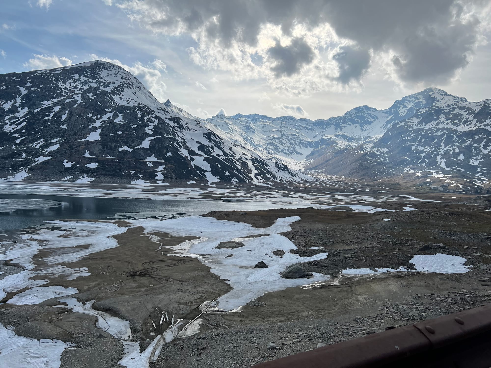
Anyway, back to the descent! The total number of hairpins would be about 50, but we would be doing 30 of them today until we reached a campsite at Campodolcino.
The misty mountains and the clouds we were on eye level with on the way down made me feel like the experience was from something out of a Greek mythology story book.
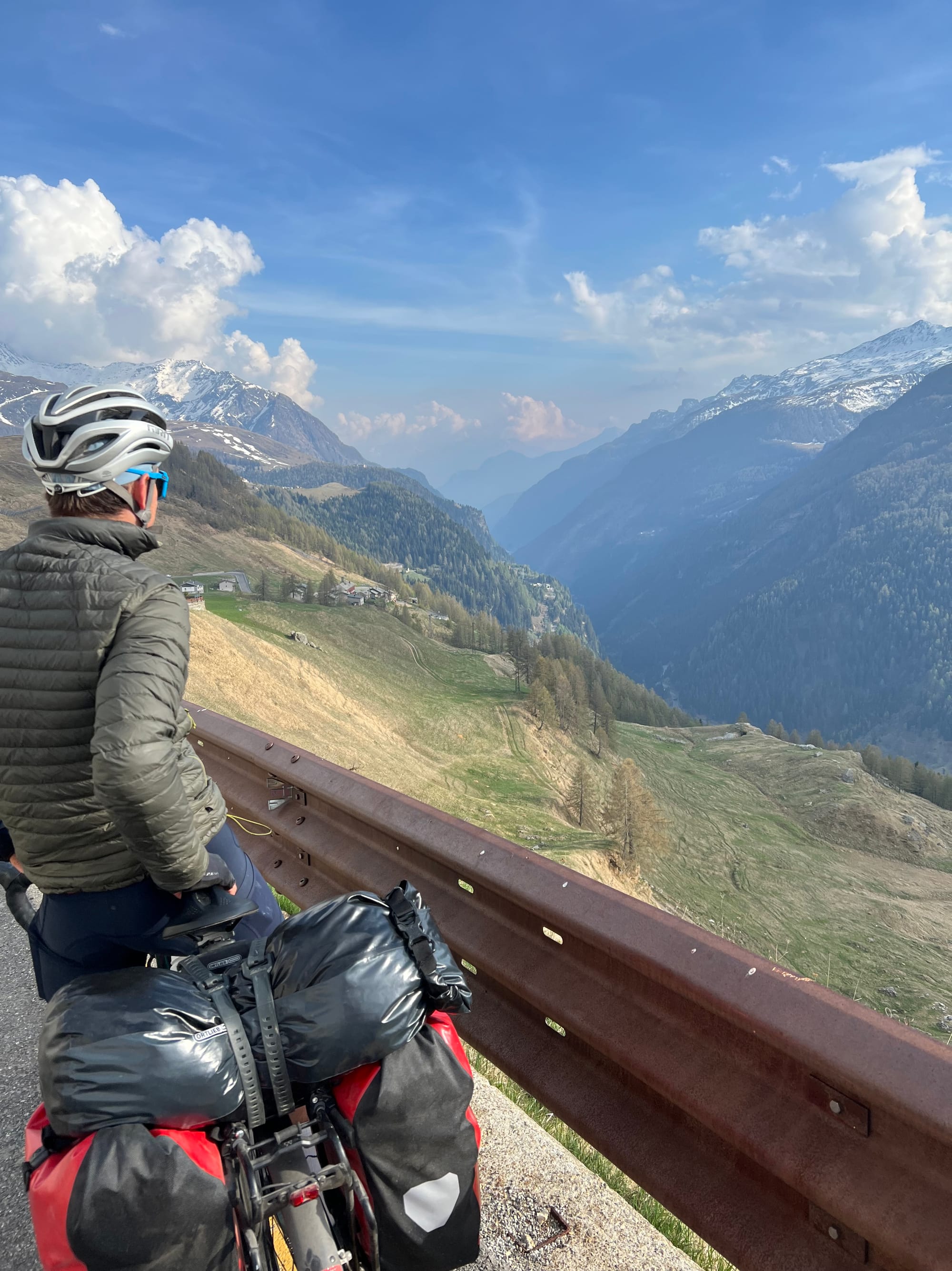
Luckily, we managed to get down to the campsite before it started raining, and we were asleep when the thunderstorm rolled in!